Your marathon as a 3D map
Print the route of a marathon you ran on a 3D map of the city, with the race and your finish time on it. Upload the GPX from your watch to Route to STL: the whole course fits, up to 30 km across.
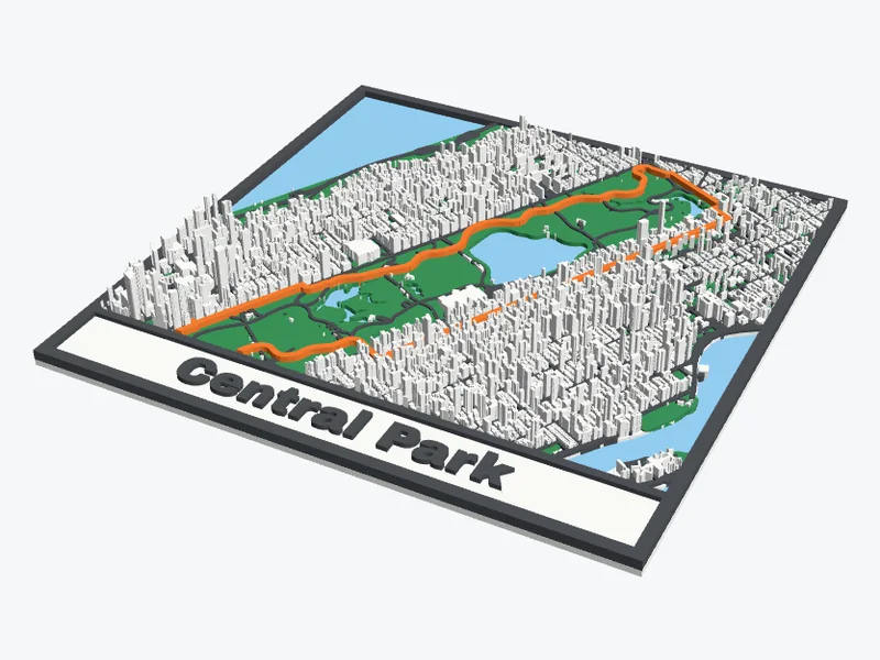
Step by step
- Export the race from Strava, Garmin Connect or your watch's app as a GPX file (how to do that per app). Many races also publish the course as GPX on their website.
- Upload it to Route to STL. The map fits itself around the course.
- Type the race and your time as the text, for example "Berlin Marathon 2026 · 3:41:12".
- Choose the shape and size, press Make my 3D map and download the 3MF or STL.
Which settings work for a marathon?
- Area: city marathons are often 8 to 25 km across. Up to 10 km the map shows every building; a bigger course keeps the main roads, railways, rivers and parks, which shows the shape of the city well.
- Size: 200 mm on a 256 mm bed, or 400 mm in 2 × 2 pieces for the wall. The pieces slide together with dovetails.
- Route: 2 mm wide for a 200 mm map, so the course reads from across the room.
- Colours: a white or grey map with an orange or red route. Water in light blue helps people find the river and the coast.
Gift ideas
- A wall map of the course for the finisher, with the date and time.
- A coaster with the route for everyone in the running club.
- A round ornament or a 45 mm keychain of the last kilometres before the finish.
Good to know
Does a whole marathon fit on one map?
Yes. Route to STL takes routes up to 30 km across. Above 10 km the buildings are left out, because they would be smaller than a 0.4 mm nozzle can print.
My watch lost GPS under a bridge. Can I fix the route?
Yes: draw the route yourself on the map, or use the course GPX from the race's website.
Can I put my finish time on it?
Yes. The text field takes up to 40 characters, such as the race, the year and your time. Tick Coordinates under the name to add the location.
Upload your race and see it in 3D before you download. Free, no account needed.
Open Route to STLMap data © OpenStreetMap contributors.